Park Avenue Trail Hike Arches National Park

To the left of the Park Avenue Viewpoint at Arches National Park there is a medium steep trail that is the beginning of the Park Avenue trail hike.
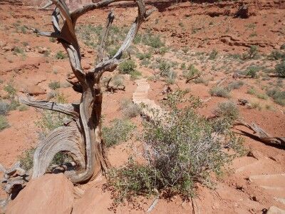
Park Avenue trail steps leading to bottom of canyon Arches National Park

Even if you aren’t really into hiking, it’s worthwhile to hike down the trail steps to the bottom if you are physically able. While the steps are a little steep, you get an entirely new (and gorgeous) view of Park Avenue from the bottom compared to the viewpoint at the top.
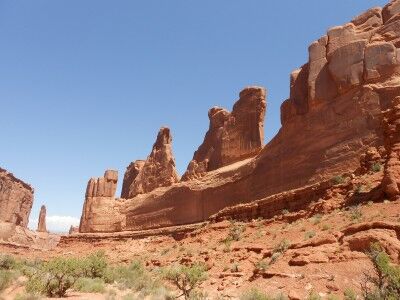
view of Park Avenue from trail at bottom at Arches National Park

If you do enjoy hiking, the Park Avenue trail hike is 1 mile each way and has beautiful scenery. If you are in a group with some who like to hike and others that don’t, there’s a hiker pick-up at The Organ at the end of the the trail so some can drive while others hike (or you can turn around making the hike 2 miles round trip)
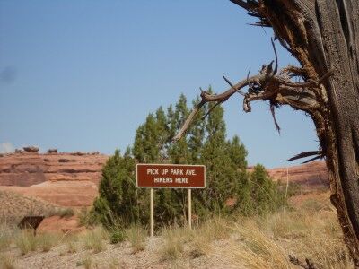
Park Avenue trail end pick-up sign at Arches National park

Once down the steps, much of the trail is along a dry riverbed and across amazing water worn sandstone:
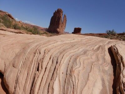
Park Avenue trail water worn sandstone at Arches National Park

A lot of people skip this hike at Arches National Park as they head to more popular areas of the park. I found it to be the least crowded trail I hiked at Arches which gave me some solitude which was difficult to find on other trails in the park. Being as short as it is, I would definitely make an effort to hike it if you have the time.
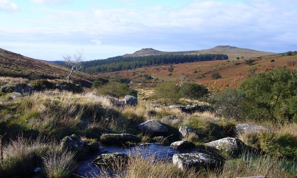
More Park Avenue trail photos

Park Avenue Viewpoint Arches National Park

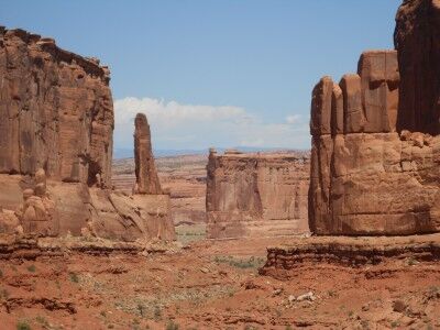
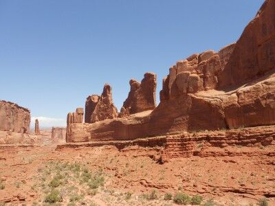
The first major stopping area once you have entered Arches National Park is at Park Avenue. There is a short walk to the Park Avenue viewpoint (accessible to all) which gives a spectacular view that you don’t want to miss. While other areas of Arches National Park are more famous, I found this to be one of my favorite spots. The view gives you a wide enough perspective to take in a number of large formations, but the valley limits what you can see so it’s not overwhelming. I also found that because there are no major arches along Park Avenue, it’s less crowded than other areas of the park:

Park Avenue at Arches National Park, Utah

view from Park Avenue Viewpoint down canyon at Arches

The information sign at park Avenue viewpoint gives the following information:

The sheer walls of this narrow canyon reminded early visitors of buildings lining a big city street. Rising majestically, these geological “skyscrapers” tell the story of three important rock layers.

These layers began forming more than 150 million years ago as tidal flats, desert, and beach deposits. Over time, more layers of rock, perhaps a mile thick, covered these deposits. Tremendous pressure from this rock compressed the buried sand into sandstone and cracked it. As erosion removed the overlying rock, the layers now exposed began to weather.

Within the past two million years, erosion of the cracks in the Entrada has left vertical slabs like the rock wall to your right. These slabs, called fins, are the first step in arch formation.

Here is a beautiful night sky timelapse video taken at Park Avenue viewpoint:

Moab Fault Arches National Park

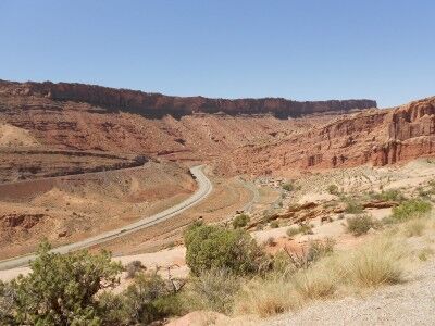
With over 2000 arches at Arches National Park, you might think that arches is all the park has to offer. You would be wrong. The first paved turnout that you will come across once you have entered Arches National Park is one that describes Moab Fault. The pull-out gives a wonderful view of the highway you drove in on to reach Arches which also shows in detail the Moab Fault:

Moab Fault at Arches National Park

Your instinct will be to pass on by and most cars do, but it’s well worth stopping simply to get a better understanding of how Arches National Park was formed. It will only take 5 minutes of your time and the plentiful arches waiting on the other side of the ridge will still be there. If you think that you will stop on your way back, you may have great intentions of doing so, but the reality is that you likely won’t. The turnout is much easier to see on the way into Arches and by the end of the day of hiking you won’t have the energy to do so.

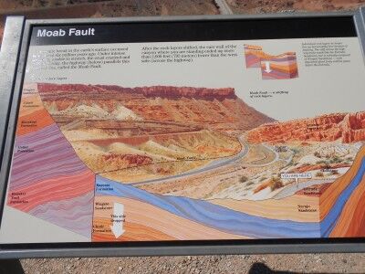
There is an informational sign at the turnout that gives the following description:

A dramatic break in the earth’s surface occurred here about six million years ago. Under intense pressure, unable to stretch, the crust cracked and shifted. Today, the highway (below) parallels this fracture line, called the Moab Fault.

After rock layers shifted, the east wall of the canyon where you are standing ended up more than 2,600 feet (792 meters) lower than the west side (across the highway).

Individual rock layers no longer line up horizontally here because of the faulting. The cliff across the highway looks much like the Entrada sandstone, but is actually composed of Wingate Sandstone — rock deposited about forty million years before the Entrada.

Moab Fault information at Arches National Park Utah

If the sole purpose of visiting Arches National Park is to see as many arches as you can, then the Moab fault information will be of little interest to you, but if you are there to learn, this five minute pull out is well worth the time.